The Challenge#
Working with high-density LiDAR data requires rigorous Quality Assurance and Quality Control (QA/QC) before finalizing analytical reports or derived feature datasets. Standard desktop GIS applications often struggle to render massive raw point clouds quickly, making it difficult to rapidly inspect 3D data distributions, isolate specific attribute anomalies, or verify spatial boundaries. This project was completed in two parts over time, with the goal of providing a lightweight, interactive environment for visualizing and isolating point cloud data for QA/QC purposes.
Visual Assessment Tool#
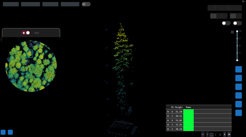
The first application was a focused desktop utility built to evaluate specific, isolated point clusters against defined 2D spatial boundaries. It provides an efficient 3D environment for reviewing grouped features and ensuring spatial completeness.

Boundary Matching#
Load and evaluate isolated point clusters associated with specific boundary polygons to verify spatial grouping accuracy.
Spatial Buffering#
Apply dynamic buffers around the core feature to visualize neighboring points and evaluate the surrounding context.
Attribute Visualization#
Toggle color rendering based on raw point attributes, such as intensity, to assist in visual verification.
Interactive Point Selection Tool#
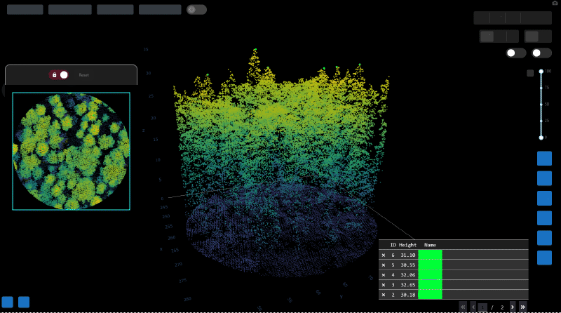
The second application in the suite was a browser-based tool designed for rapid, plot-level data exploration. It allows users to load raw LAZ/LAS files directly, explore points within a defined 3D space, and interactively select specific points to attribute and export.
Spatial Masking#
Filter the 3D view instantly using a 2D bounding box or a drawn polygon.
Z-Masking#
A dedicated slider to restrict the visible elevation range and isolate specific vertical strata.
Slope Normalization#
Dynamic styling based on height-above-ground rather than raw elevation to account for underlying terrain slope.
Attribute Styling#
Color rendering based directly on embedded point cloud attributes.
Point Selection & Data Export#
Granular camera controls for detailed 3D inspection and the ability to export selected, attributed points directly to a file for further analysis.