Operational Mapping & Timber Cruise Support#
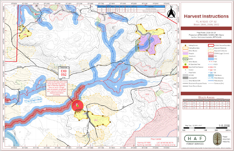
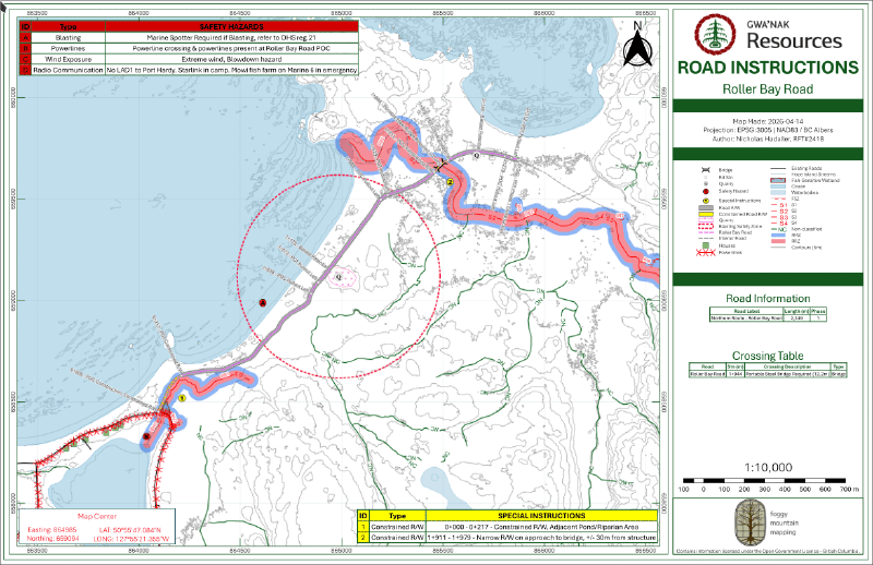
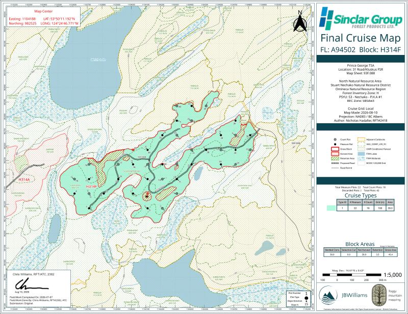
We create maps that are easy to read and follow, prioritizing safety and operational clarity for anyone navigating the site. Whether for active harvesting, road construction, or timber cruising, we tailor the cartography to highlight critical engineering data and hazard boundaries so field crews have exactly what they need.
Review our comprehensive operational map package for the North Island Community Forest (NICF) to see examples of our standard harvest, road, safety, and site plan deliverables in action:
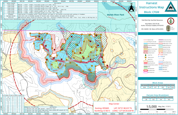
NICF Operational Map & Spatial Data Package
Permit Applications#
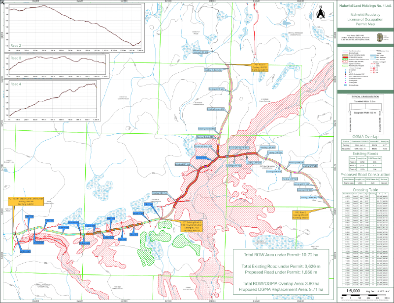
We assemble comprehensive mapping packages designed specifically to meet regulatory formatting and review requirements.
Supported Application Types:
- Occupants Licence to Cut (OLTC)
- Land Use Orders (LOO)
- Private land development
- Other related approval processes
Custom Cartography & Project Configuration#
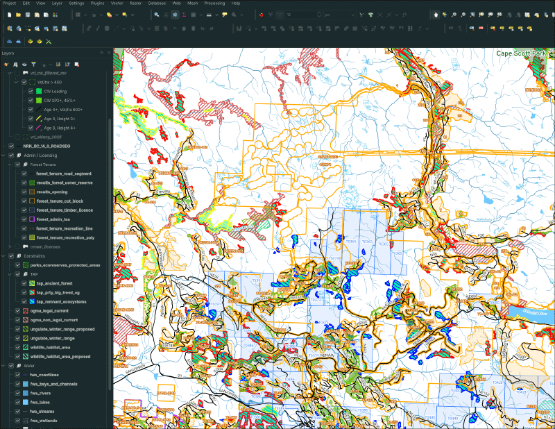
Map design tuned precisely to your standards, audience, and output format. We organize the underlying data and mobile infrastructure so recurring work stays efficient, both in the office and out in the bush.
Data & Setup Services:
- Mobile Data Collection: QField project creation and offline packaging for remote fieldwork.
- Custom Forms & Syncing: Building data entry forms with validation rules and syncing workflows for central PostGIS databases.
- Base Layer Acquisition: Sourcing and organizing LiDAR, aerial imagery, cadastral boundaries, and provincial datasets.
- Cartographic Layouts: Standardized map layouts, directory structuring, and ongoing reference data maintenance.
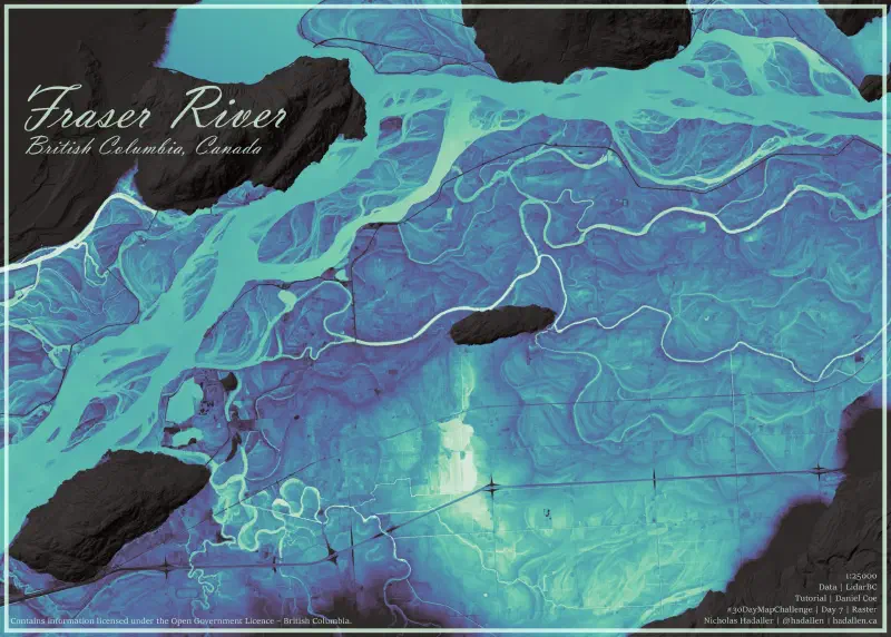
Get in Touch
Related Services & Past Projects
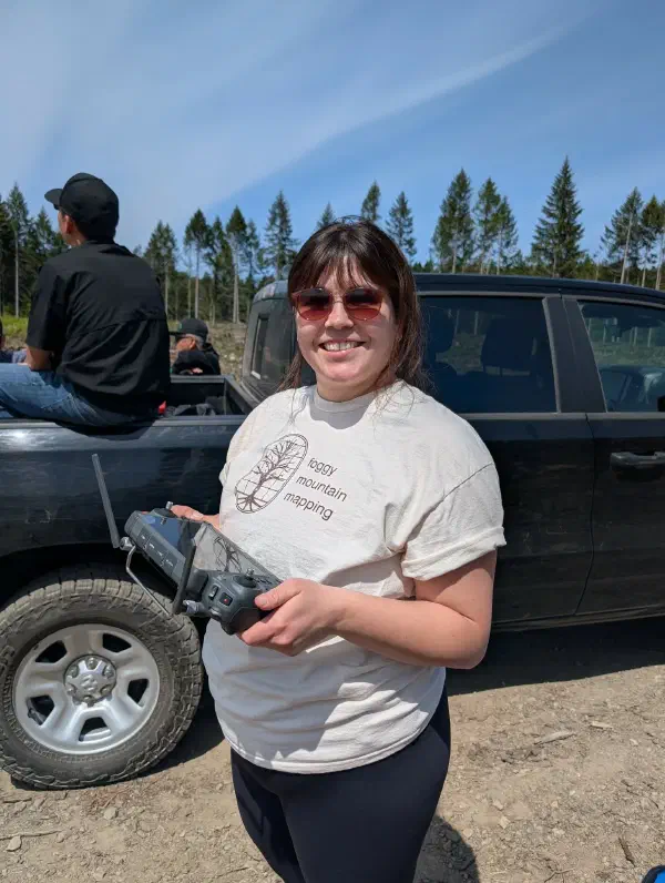
Drone Surveying & Aerial Imaging