
Process point clouds into terrain, canopy, and metric products that are ready for mapping, analysis, and decision-making.
Raw Point Cloud Processing#
We handle the heavy lifting of raw point cloud classification, filtering, and data preparation to ensure your downstream outputs are accurate.
Processing workflows include:
- Ground point classification and noise filtering
- Custom processing pipelines for faster, repeatable operations
- Data structuring optimized for network storage and rapid GIS access
Terrain, Canopy & Analytic Modelling#
We transform dense point clouds into lightweight, actionable formats that integrate directly into your existing GIS environment.
Common derived products:
- Bare-Earth Terrain: High-resolution Digital Elevation Models (DEM).
- Surface Models: Digital Surface Models (DSM) and Canopy Height Models (CHM).
- Vector Extraction: Automated contour line generation and feature extraction.
- Analytic Extraction: Metric reporting support for complex spatial datasets.
Get in Touch
Need point cloud processing for a project? We can help turn raw LiDAR into actionable terrain and canopy products.
Related Services & Past Projects
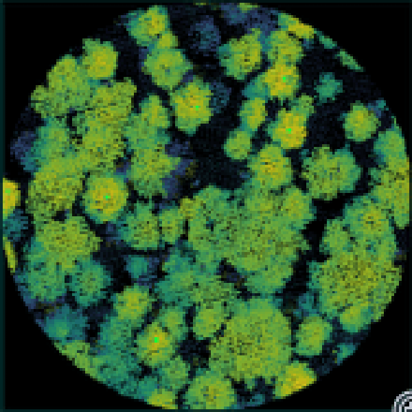
Point Cloud Visualization Suite
A set of custom Python tools for visualization and isolation of point cloud data for QA/QC purposes.
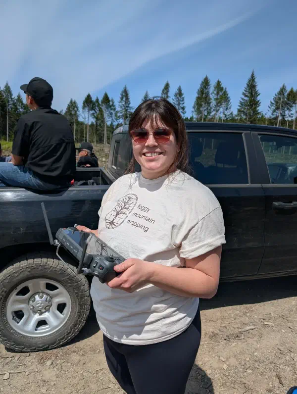
Drone Surveying & Aerial Imaging
LiDAR point cloud collection, thermal imaging, and high-resolution orthomosaics.