Capture field conditions from above with imagery and point clouds that are ready for planning, analysis, and reporting.
Aerial Data Collection#
We operate specialized payloads to capture high-density data for terrain modeling, site-change analysis, and mapping.
Collection capabilities:
- LiDAR Point Clouds: High-density capture for vegetation penetration and terrain mapping.
- Orthomosaic Production: High-resolution RGB mosaics for clear mapping and measurement.
- Thermal Imaging: Infrared capture for hotspot detection and wildlife monitoring.
Mission Planning & Safety#
A successful aerial survey requires rigorous preparation and absolute spatial accuracy before the hardware ever leaves the truck.
Operational protocols include:
- Flight Logistics: Site-specific flight path planning and airspace authorizations.
- Ground Control: Establishing precise RTK/GNSS points for absolute spatial accuracy.
- Safety Compliance: Strict hazard assessments and adherence to operational protocols for every deployment.
Get in Touch
We can tailor capture and processing to the site, resolution, and deliverable format the project requires. Need aerial data for a project site?
Related Services & Past Projects
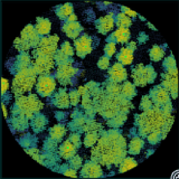
Point Cloud Visualization Suite
A set of custom Python tools for visualization and isolation of point cloud data for QA/QC purposes.