Off-the-shelf software doesn’t always fit specialized forestry workflows. We build custom geospatial infrastructure, automation scripts, and database pipelines to eliminate manual data processing and keep your projects moving.
Geospatial Pipelines & QGIS Development#
We build purpose-built tools and processing models that handle massive vector and raster datasets, eliminating repetitive manual workflows.
Custom development includes:
- Python-based automation scripts that leverage GDAL/PDAL
- Custom QGIS processing models and workflows
- Purpose-built UI plugins for desktop GIS
- Bespoke dashboards, visualization, and reporting tools
If you want to see some of our work, check out the set of LiDAR Visualization Tools Nick developed for a LiDAR-based Inventory team: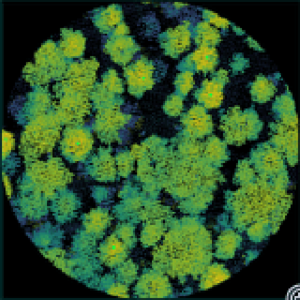
Point Cloud Visualization Suite
A set of custom Python tools for visualization and isolation of point cloud data for QA/QC purposes.
Spatial Database Infrastructure#
We deploy managed PostgreSQL and PostGIS environments that serve as the single source of truth for your spatial data.
Database features include:
- Automated monitoring and encrypted backup routines
- Web-based project management dashboards and oversight tools
- Performance tuning for large-scale spatial queries
Technology Stack#
We build robust solutions using industry-standard tools and open-source infrastructure:
Python
QGIS
PostgreSQL / PostGIS
GDAL / PDAL
Get in Touch
Need a custom tool, automated pipeline, or secure database for your next project?
Related Services & Past Projects
Point Cloud Visualization Suite
A set of custom Python tools for visualization and isolation of point cloud data for QA/QC purposes.