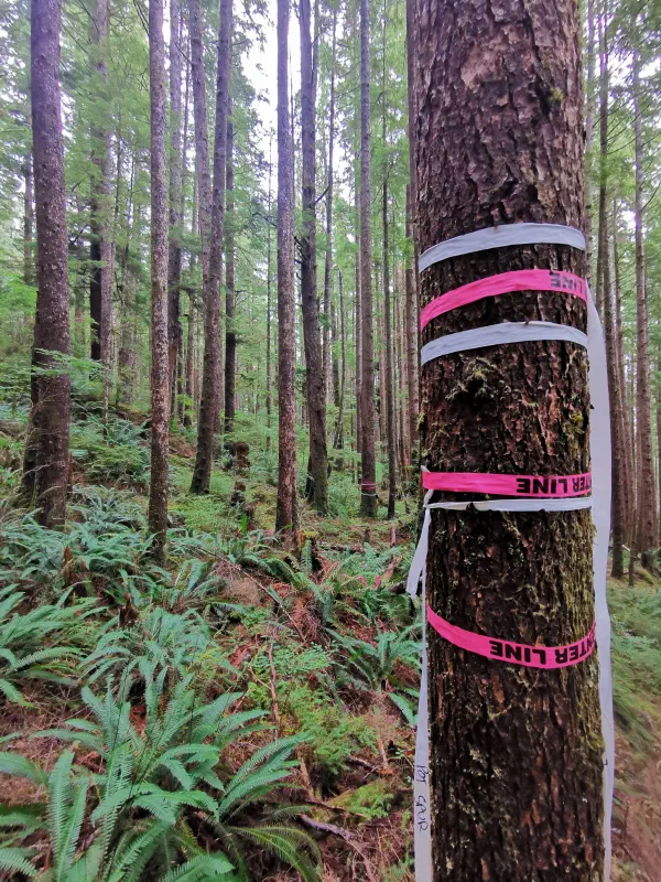
Turn raw spatial data and engineering layouts into precise, high-fidelity 3D models. We bridge raw terrain data and professional presentation to communicate site plans clearly to reviewers and stakeholders.
Procedural Environment Generation#
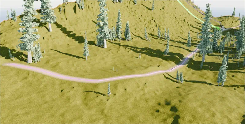
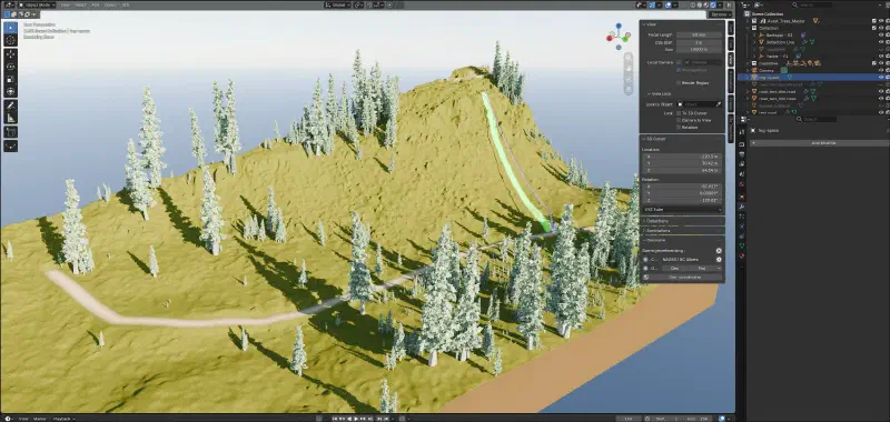
We use advanced geometry nodes and automated pipelines to construct highly accurate surface models directly from DEM and point cloud inputs.
Generation capabilities include:
- Direct translation of raster grids into 3D geometry
- Automated distribution of vegetation based on canopy height models
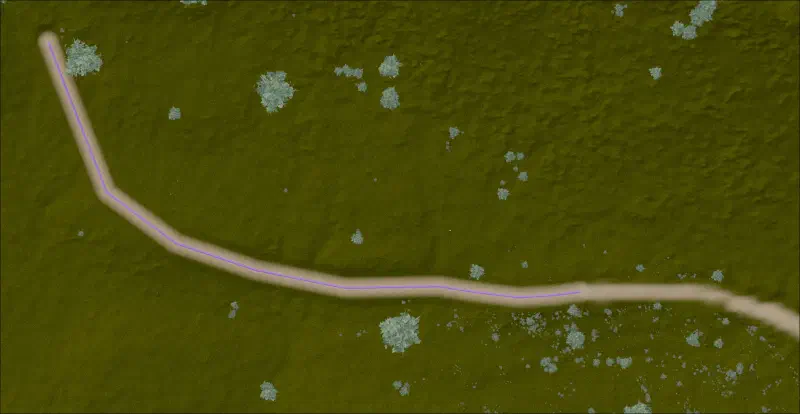
- Integration of vector linework over real topography
Visual Impact Assessments (VIA)#
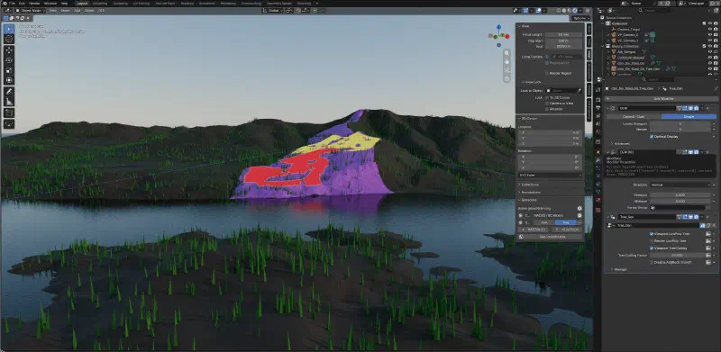
We build comprehensive 3D terrain and landscape models specifically formatted for regulatory review and documentation.
VIA deliverables:
- Clean analytical visualizations for engineering checks
- Photorealistic environmental renders for public consultation
- Targeted figures for professional-grade impact reports
Engineering & Infrastructure Simulation#
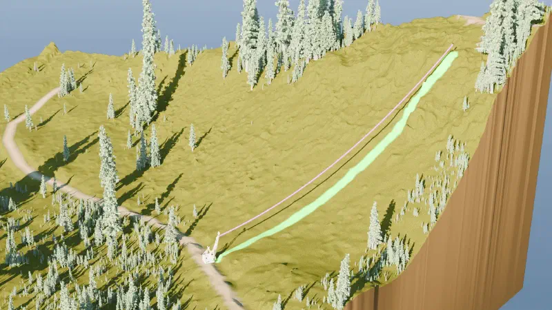
We visualize complex operational layouts to prove out engineering viability before ground is broken.
Simulation scenarios:
- Cable logging corridors and deflection analysis
- Road alignments and grade constraints over terrain
- Contextual styling of towers, spans, and road prisms
Get in Touch
Have a complex terrain layout or visual impact assessment that needs to be communicated clearly?
Related Services & Past Projects
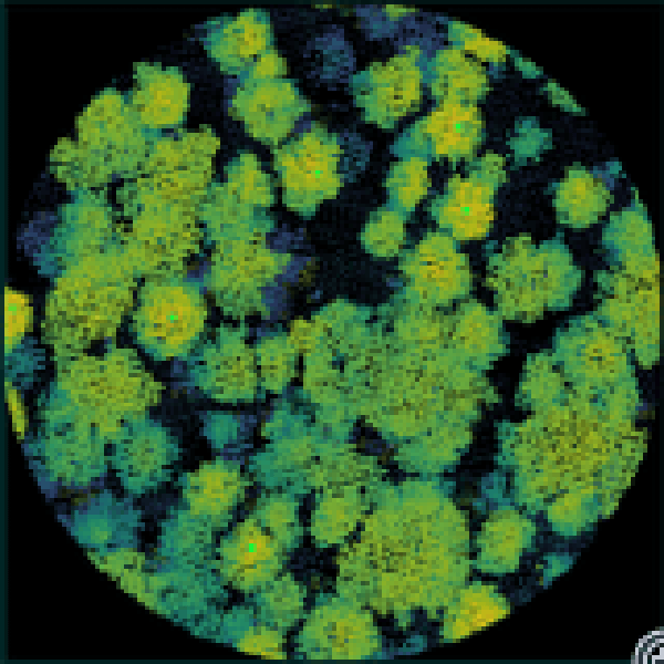
Point Cloud Visualization Suite
A set of custom Python tools for visualization and isolation of point cloud data for QA/QC purposes.