
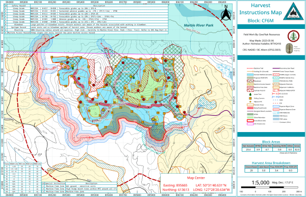
NICF Operational Map & Spatial Data Package
A comprehensive cartographic and spatial data package designed to support forestry engineering, safety, and appraisal submissions.
Selected examples of technical mapping, geospatial analysis, and field support delivered for clients.
Work in progress, bear with us as we continue to add more project examples and service highlights.